UN
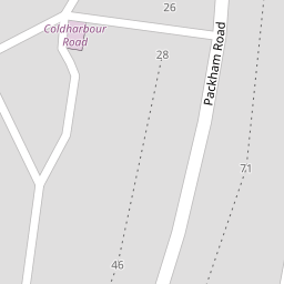
42 Packham Road
£ 162,000
Description
We don't have a Description for this property.
- Bedrooms
- 3
- Bathrooms
- 0
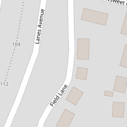

Leaflet © OpenStreetMap contributors
The heatmap indicates the level of crime in the area. The color of the heatmap indicates the crime severity and recency.
Metrics Year-on-Year
- Average area value
- 538,883.00 £Increased by 7.52 %
- Average area rental value
- 1,946.00 £/moIncreased by 6.63 %
- Est rental Yield
- 4.33 %Decreased by 0.92 %
- Crime Rate
- 9.00 %Unchanged by 0.00 %
from 501,202.00 £
from 1,825.00 £/mo
from 4.37 %
from 9.00 %
Nearby Schools
| Name | Type | Ofsted | Distance |
|---|---|---|---|
| Bright Futures Children'S Centre | Children's Centre | 0.24 KM | |
| Shears Green Junior School | Foundation School | Good | 0.30 KM |
| Saint George'S Church Of England School | Academy Converter | Good | 0.80 KM |
| Cecil Road Primary And Nursery School | Foundation School | Good | 1.11 KM |
| Mayfield Grammar School, Gravesend | Academy Converter | Outstanding | 1.51 KM |
Images
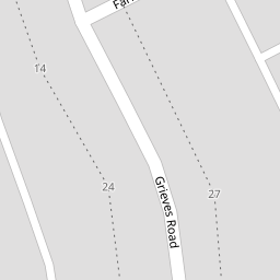
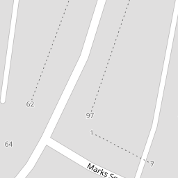
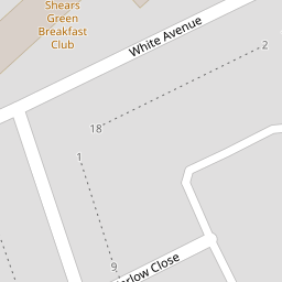
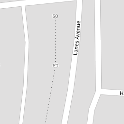
Nearby Streets
| Name | Average Price | Average Sqft | Distance |
|---|---|---|---|
| Lanes Avenue | £ 350,000 | 0 | 0.00 KM |
| White Avenue | £ 0 | 0 | 0.00 KM |
| Marks Square | £ 0 | 0 | 0.00 KM |
| Field Lane | £ 0 | 0 | 0.00 KM |
| Thresher Drive | £ 0 | 0 | 0.00 KM |
Nearby Transport
| Name | NLC | TLC | Distance |
|---|---|---|---|
| Gravesend | 5172 | GRV | 2.30 KM |
| Meopham | 5116 | MEP | 4.12 KM |
| Northfleet | 5120 | NFL | 4.33 KM |
| Tilbury Town | 7462 | TIL | 4.34 KM |
| Ebbsfleet International | 5566 | EBD | 4.47 KM |
Nearby Listings
| Address | Price | Type | Score | Distance |
|---|---|---|---|---|
| Grieves Road, Northfleet, Kent, DA11 | £ 325,000 | BUY | 7 / 10 | 0.10 KM |
| Farlow Close, Northfleet, Gravesend, Kent, DA11 | £ 290,000 | BUY | Unknown | 0.15 KM |
| White Avenue, Northfleet, Gravesend, Kent, DA11 | £ 375,000 | BUY | 7 / 10 | 0.19 KM |
| Field Lane, GRAVESEND, Kent, DA11 | £ 340,000 | BUY | 7 / 10 | 0.21 KM |
| Field Lane, GRAVESEND, Kent, DA11 | £ 166,600 | BUY | 7 / 10 | 0.21 KM |
Nearby Properties
| Address | Price | Distance |
|---|---|---|
| 26 Packham Road | £ 335,500 | 0.00 KM |
| 42 Packham Road | £ 162,000 | 0.00 KM |
| 52 Packham Road | £ 163,500 | 0.00 KM |
| 63 Packham Road | £ 164,000 | 0.07 KM |
| 69 Packham Road | £ 125,000 | 0.07 KM |